
Best places in Minneapolis for a real-world date
🇺🇸 Minneapolis, United States
Information is based on data we researched and found. Hours, access, and conditions change — always verify before you visit.
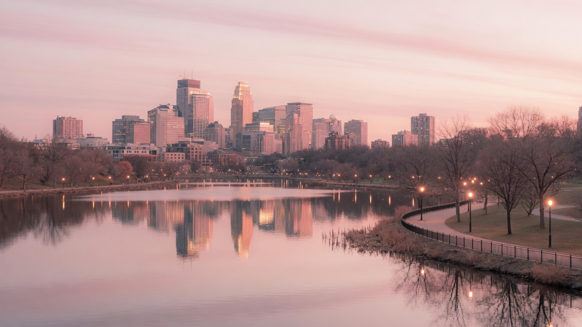
Minneapolis will eat a first date if you ignore winter wind or summer lake crowds with no pin.
It gets generous with lakes, parkways, and bridge walks.
Best meets: one lake loop segment, one skyline view, clear exit.
This is a human shortlist for showing up — not a restaurant ranking. Hours and access change; always verify before you visit.
If you’re already in town and want to see who’s pinning a plan, that’s Dating Me — anonymous stickies, not hotel ads.
How we picked these
- Public outdoor first (lakes, parks, bridges, parkway trails).
- A clear meet pin you can text without a thesis.
- Mix of walk / view / green / water.
- Honest about winter wind, ice, and peak lake traffic.
- No invented fake reviews.
1. Lake Harriet — bandstand / shore pin
A beloved Chain of Lakes loop with a north-shore bandstand as the obvious landmark. Pin the bandshell or a shore node, walk one segment, reverse — do not attempt the full circumference on a first meet.
The lake covers about 335 acres (max depth ~85 ft) in southwest Minneapolis. The current bandshell dates to 1986 (renovated 2023) and hosts free summer concerts; seasonal shore dining and two beaches sit on the same loop. Pedestrian path is roughly 2.75 mi; the bike trail about 2.99 mi, with Grand Rounds links toward Bde Maka Ska and the Minnehaha Creek trail.
Summer evenings are lively; shoulder seasons are calmer. Keep the plan to one bandstand-anchored segment so the lake stays a shared walk, not a fitness thesis.
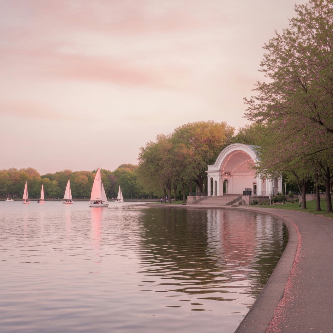
Why it works: landmark + water; the bandshell is textable in one line.
Caveat: loop is long — segment only; busy peak evenings
2. Chain of Lakes segment — Bde Maka Ska shore
Busy, beautiful shore-path energy on the Chain of Lakes. Agree direction and a turnaround before you start so the path does not become an open-ended march.
Bde Maka Ska connects via Grand Rounds to Lake Harriet and the wider lake system — local walkability guides treat these southwest lake trails as core weekend recreation. Bikes and runners share the space; stay aware and keep to a short agreed loop.
Peak hours pack the path. Pick a quieter shoulder window when you can, or accept the shared-motion buzz as part of the date texture.
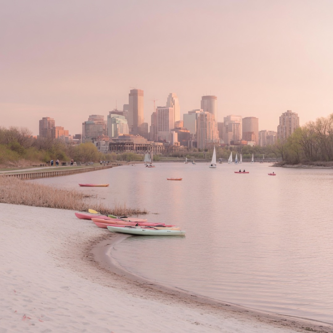
Why it works: motion + water; easy to extend or exit.
Caveat: peak hour traffic on path
3. Minnehaha Falls — waterfall pin
Park hours — verify seasonally; falls flow varies with season and rain
A 53-foot waterfall on Minnehaha Creek about three-quarters of a mile above the Mississippi confluence — strong shared sight inside the city. Pin the falls overlook, not the entire park system.
Minnehaha Regional Park covers roughly 170 acres on the Grand Rounds Scenic Byway (park design lineage to H.W.S. Cleveland, 1883) and sits within the NPS Mississippi National River and Recreation Area. The Minnehaha Historic District has been on the National Register since 1969; grounds also hold the historic Princess Station depot, Stevens House (1849), and Longfellow House.
Crowds spike when the falls are running hard; stairs and spray-slick paths are real. Paths can be icy in winter — verify access and dress for the overlook, not a full creek hike.
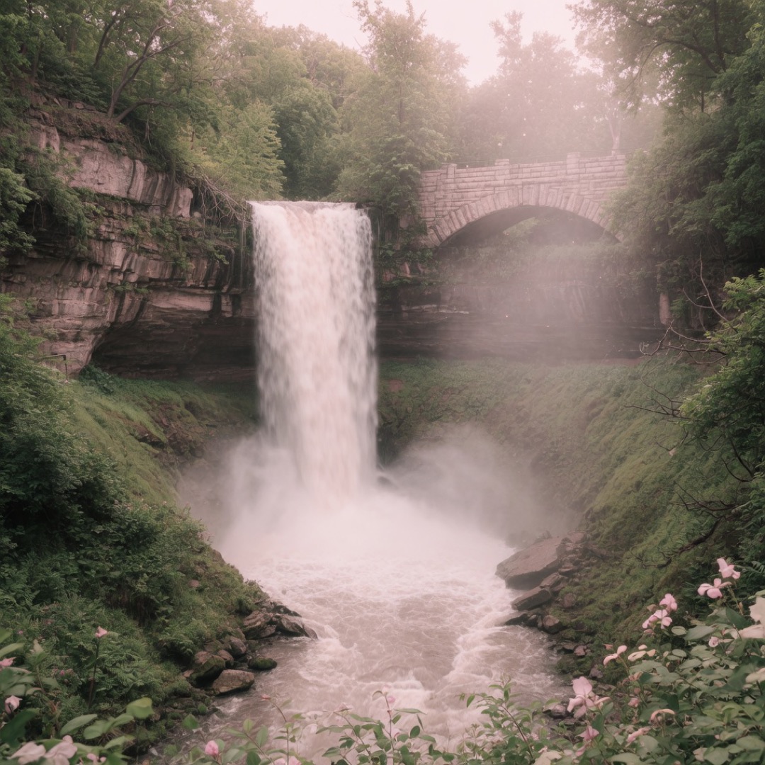
Why it works: strong shared sight; the falls do the wow work.
Caveat: crowds; stairs; seasonal flow; slick paths
4. Stone Arch Bridge — skyline walk
A pedestrian bridge with skyline and Mississippi river views — one of the clearest textable meet pins in the city. Meet mid-span or at either end; walk across once, then decide.
Stone Arch is the classic Minneapolis skyline card: stone arches, downtown towers, and river texture without needing a ticket. Local park-date lists and visitor guides treat the bridge and adjacent river crossings as default hand-in-hand walking ground.
Wind can be sharp off the river, and events occasionally reshape access. Still the strongest one-line landmark when you want view + motion in under an hour.
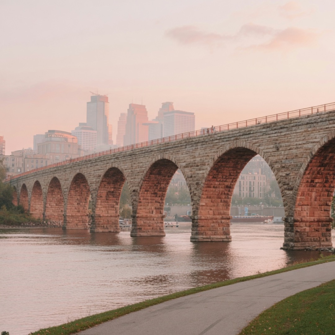
Why it works: iconic + easy; skyline does the structure work.
Caveat: wind exposure; event days
5. Gold Medal Park — Guthrie-adjacent lawn
A mound lawn by the river with cultural buildings as backdrop — soft sit energy next to the Guthrie district. Pin the mound or a path node, not “somewhere by the mills.”
Gold Medal sits in the riverfront cultural cluster where architecture and open grass do most of the date work. Local romantic-park lists lean on open grassy picnic space and river-edge walks in this corridor.
Shade is limited on bright days; bring layers for river wind. A short lawn sit plus one river glance beats an unstructured mill-district wander.
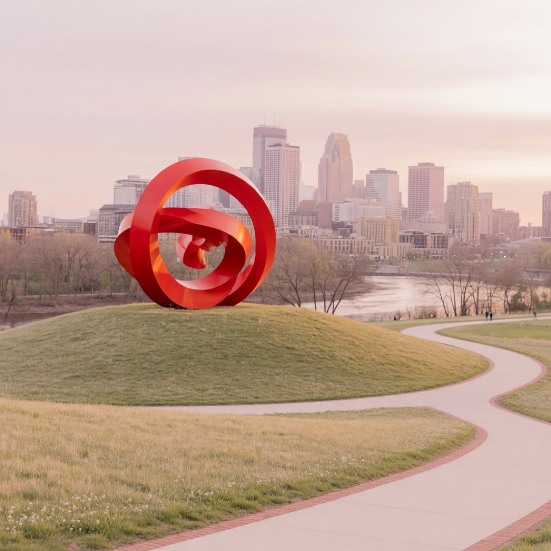
Why it works: design + calm; easy sit without a ticket.
Caveat: limited shade; river wind
6. Sculpture Garden exterior — spoon landmark
Garden free and open daily 6am–midnight year-round (verify); museum interior is separate
Outdoor sculptures including the famous Spoonbridge and Cherry — art prompts without forcing a full museum hour. Pin the spoon or a garden path node; confirm you mean the free garden, not timed museum entry.
The Minneapolis Sculpture Garden is free and open daily from 6am to midnight year-round per Walker Art Center, with 40+ sculptures and the Irene Hixon Whitney Bridge on the grounds at 725 Vineland Place. No entrance fee for the garden itself.
Weather still wins: wind and ice change how long you want to stand among the pieces. Interior Walker hours and tickets are a separate decision from this outdoor pin.
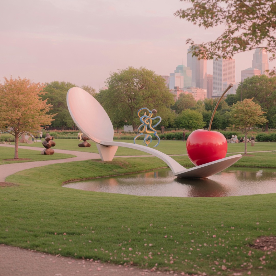
Why it works: art prompts + free access; the spoon is unmissable.
Caveat: weather; museum interior separate
7. Mississippi riverfront — West River Parkway segment
River bluff trails with city texture along the Mississippi. Segment plus turnaround beats an endless parkway march.
West River Parkway is part of the broader Grand Rounds / river trail system that Twin Cities walkers treat as everyday recreation infrastructure — dedicated trail feel with elevation views over the water. Pick one access node and a time box.
Hills are real; ice in winter is non-negotiable friction. Layers and a short agreed loop keep this a date walk, not a training run.
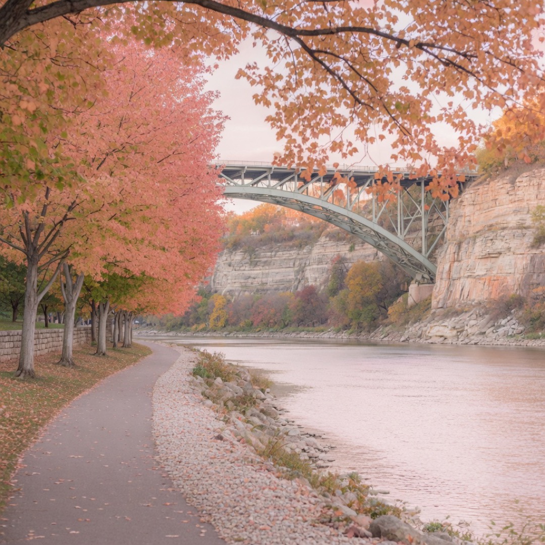
Why it works: water + elevation views; shared motion without a ticket.
Caveat: hills; ice in winter
8. Loring Park — downtown-adjacent green
A classic park near the core with paths and a pond — easy urban pin when you want green without a lake-loop project.
Loring sits downtown-adjacent, so transit and exit options are simpler than far-southwest lake meets. Paths and water give you something to walk beside while you talk.
Event days reshape the energy; on quiet hours it is simply central soft green. Pin a pond-side node, not the whole park boundary.
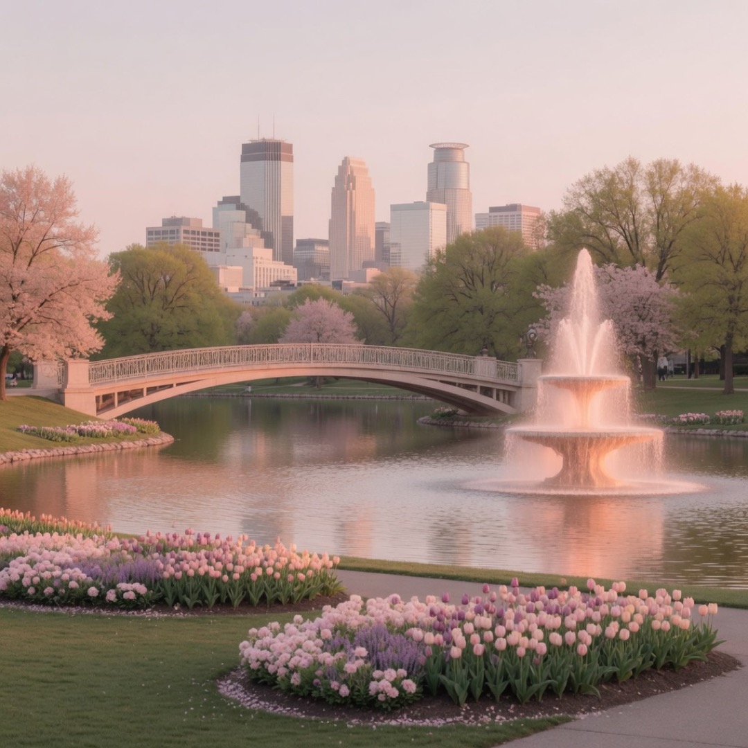
Why it works: central + soft; easy logistics from the core.
Caveat: event days
9. Como Park — conservatory exterior / garden green
Conservatory hours differ from park grounds — verify before you pin
If both of you are open to a short Twin Cities hop: gardens and park structure with conservatory exterior energy. Pin the conservatory exterior or a garden node — not “all of Como.”
Como Park on the St. Paul side is the classic garden-texture card when Minneapolis lakes feel too familiar. Grounds and indoor conservatory hours are not the same decision; always separate them when you text the plan.
Cross-city logistics are the real caveat — only use this when travel time is already acceptable for both people.
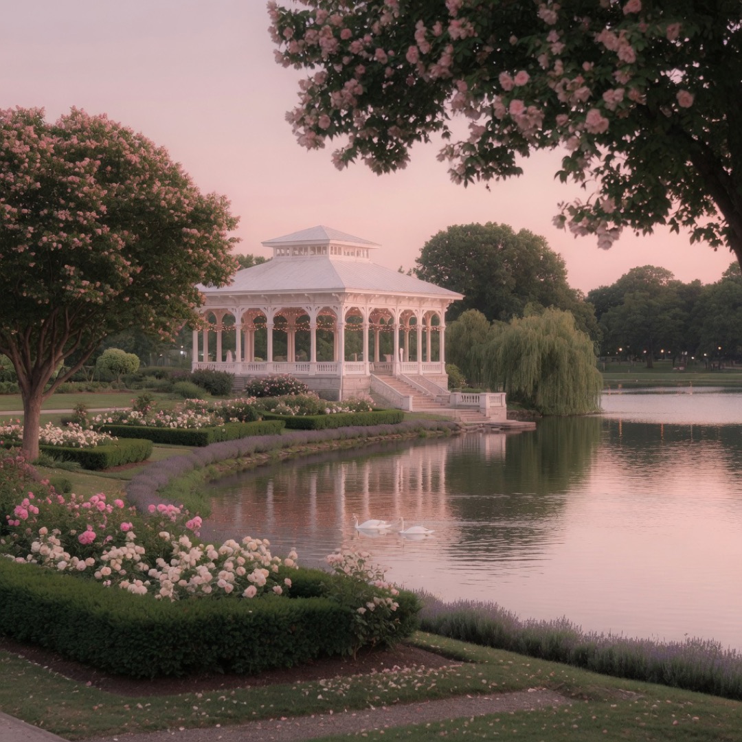
Why it works: garden texture; structured beauty without a dinner script.
Caveat: cross-city logistics; conservatory hours differ
10. Northeast Arts / Main Street edge walk
Artsy street texture without forcing a bar crawl. Pin a mural block; keep daytime gallery-soft unless you both want evening energy.
Northeast Minneapolis is the visual-prompt corridor — murals, studio edges, and walkable blocks that give conversation starters every few doors. Treat it as a street segment with an exit, not a full neighborhood tour.
Evening bar energy can take over after dark. Daylight mural loops are the kinder first-meet version.
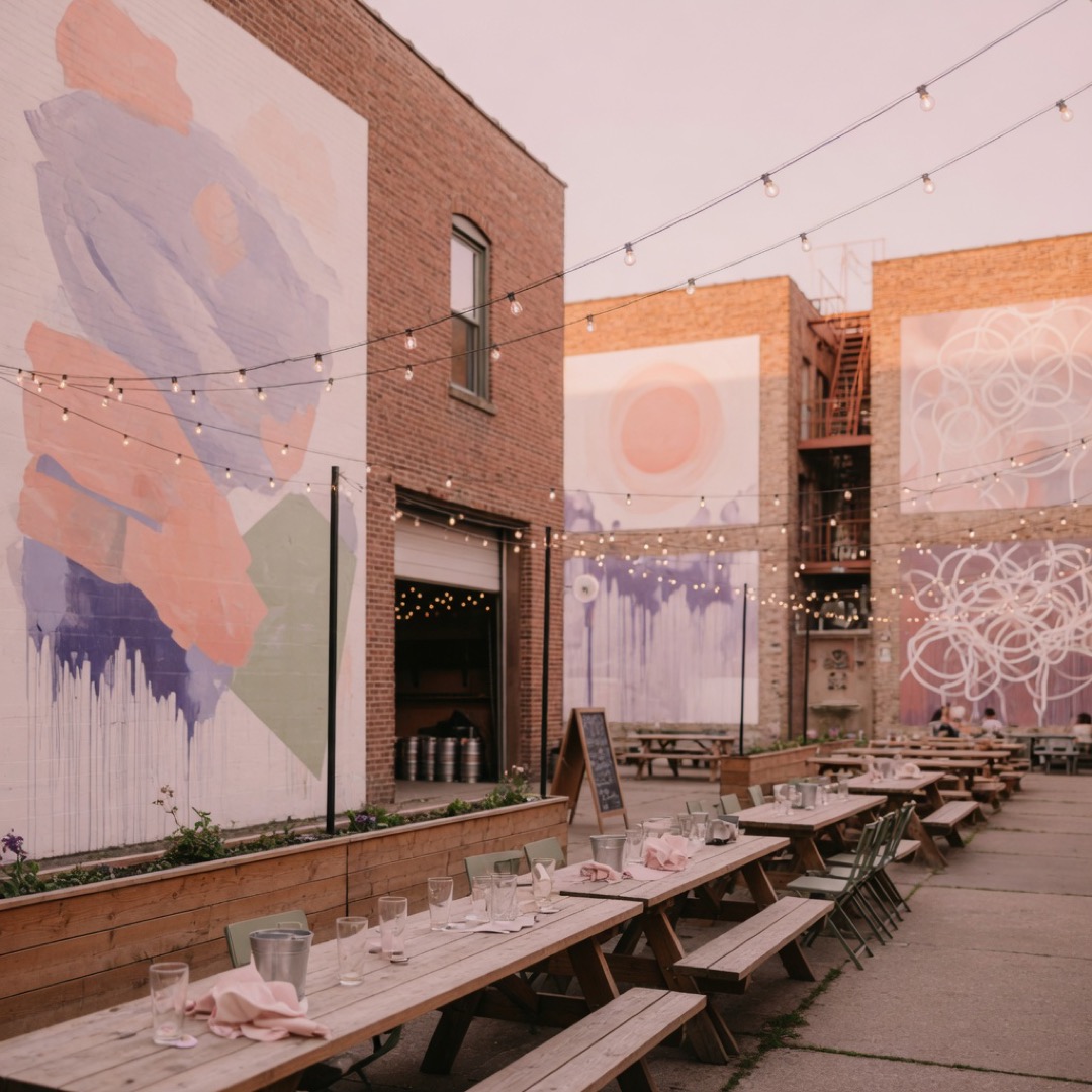
Why it works: visual texture; easy to extend or leave.
Caveat: evening bar energy
11. Boom Island — river fork calm
A calmer river-fork park for skyline angles without the Stone Arch crush. Pin a lawn or path node and keep the visit short.
Boom Island gives you Mississippi water and city views with more breathing room than the busiest bridge pins. Shared view is the point — arrive, look, talk, leave before wind wins.
Exposure off the water is the main friction year-round. Still one of the best softer skyline alternatives when the bridge feels too staged.
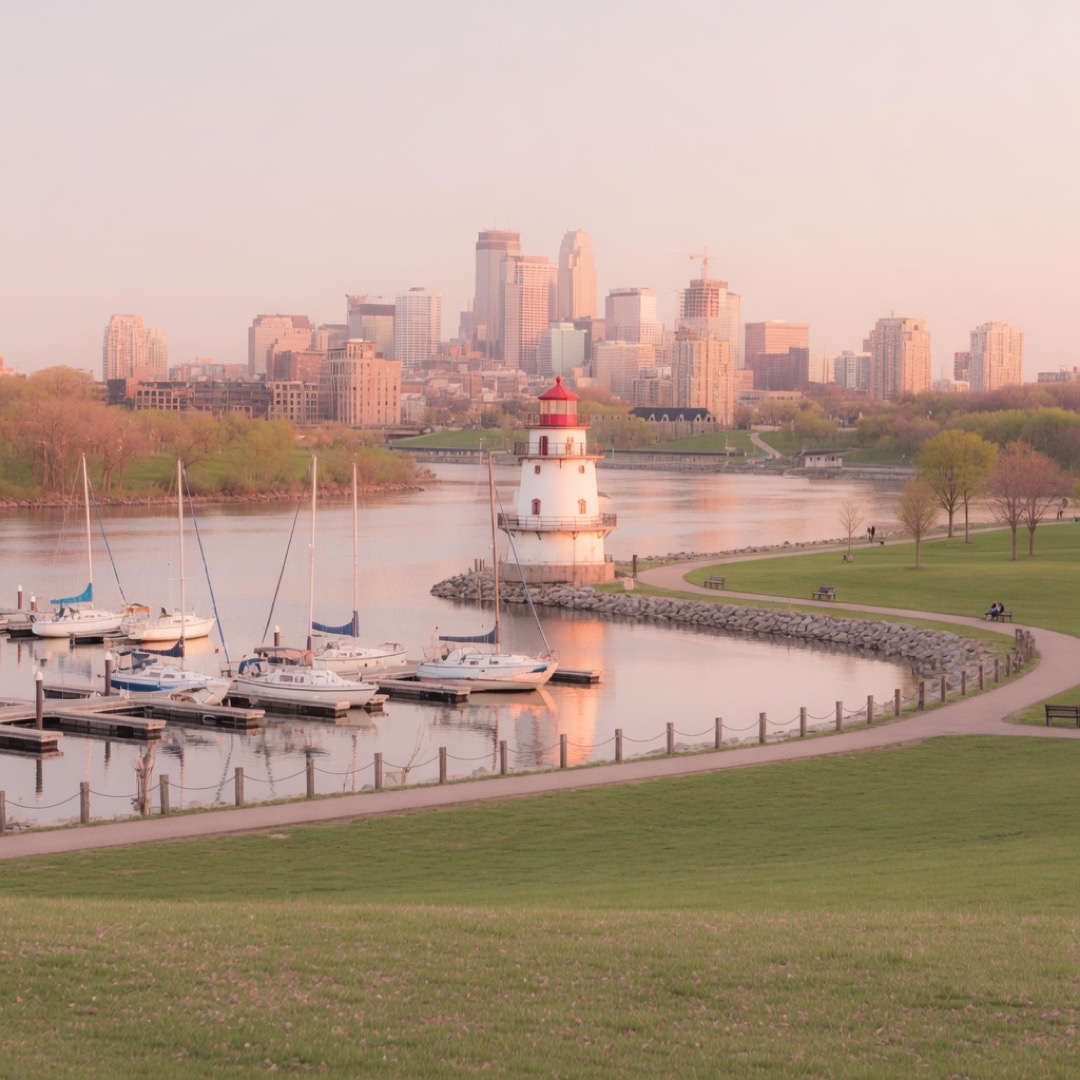
Why it works: space + view; less crush than the main bridge.
Caveat: wind
12. Lake Nokomis shore — simpler loop energy
A slightly less showy lake-loop energy than Harriet for some hours — still pin a shore node, not the full circumference.
Nokomis sits in the same Minneapolis lakes culture: public shore path, water beside you, shared motion without a reservation. Local recreation patterns treat these lakes as interchangeable weekday options when one shore is slammed.
Peak weekends still busy. Use it when you want water without maximum Harriet hype, and keep the plan to one short segment.
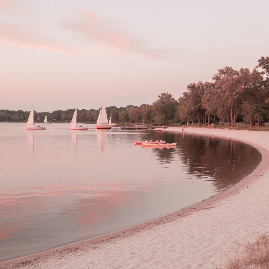
Why it works: water without max hype; same clear-pin logic as Harriet.
Caveat: still busy at peaks
Ready-made itineraries
Harriet (1.5–2h)
- Bandstand pin → shore segment.
Bridge (1h)
- Stone Arch → leave.
Falls (1.5–2h)
- Minnehaha overlook.
Sculpture (1.5h)
- Garden exterior (verified hours).
River parkway (1.5h)
- One West River Parkway segment + turnaround.
Practical notes (Minneapolis-specific)
- Winter changes everything — wind, ice, daylight.
- Lakes = segment pins.
- Public first meets normal.
- Verify park/garden hours.
- Always verify before you visit.
Want company for one of these plans?
Dating Me is an anonymous board for pinning real-world meet ideas — walks, views, low-key plans — with a time window.
Browse what’s up in Minneapolis or pin your own on Dating Me — filter to Minneapolis, or open Nearby sorted by soonest meet.
No obligation to message anyone. Public places only. Tell a friend where you’re going.
Editorial guide for Dating Me. Images are Soft Blush renders inspired by real places — not claimed as documentary photography of interiors.